
Agrimapic
Professional Drone Services
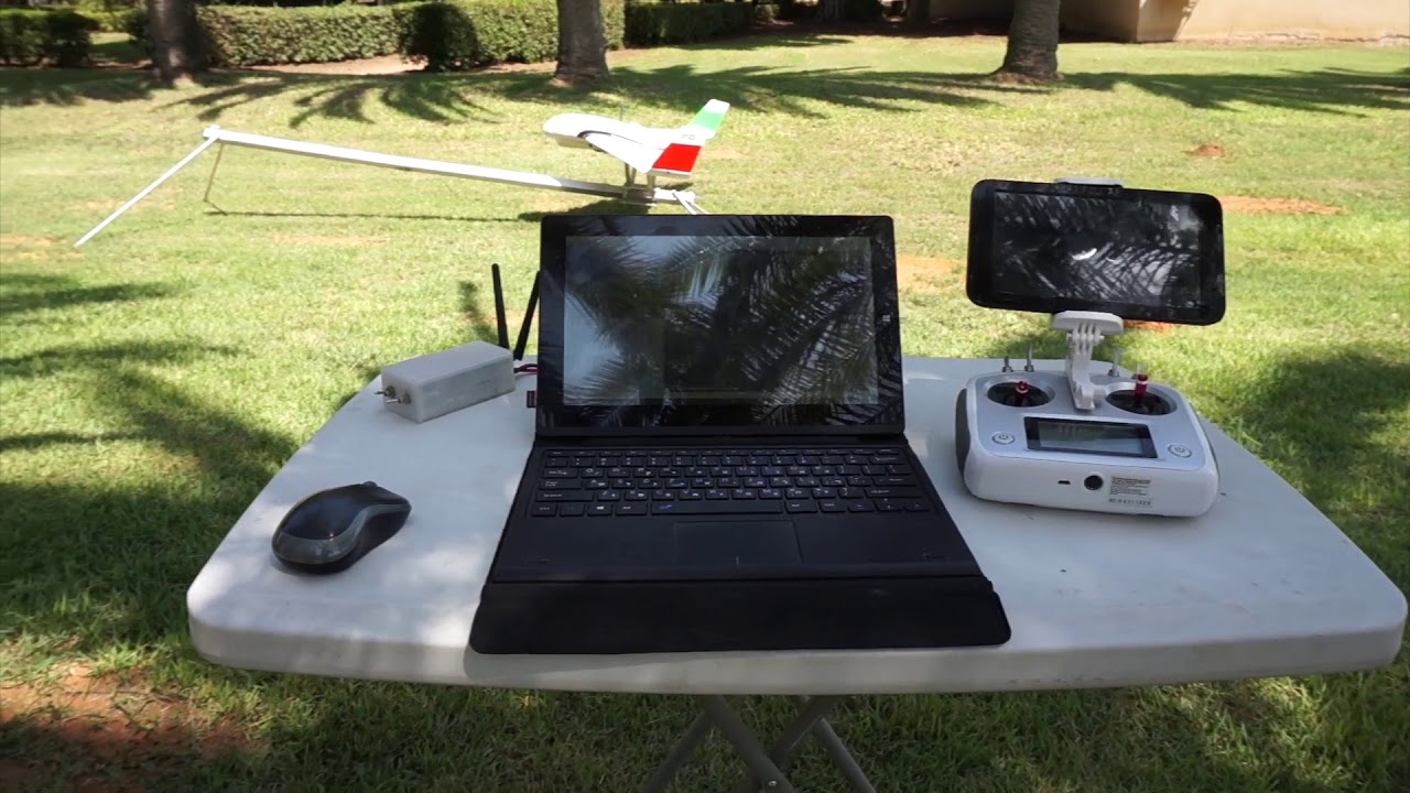
Agrimapic is a Drone-Enabled Systems company, providing advanced Photo Geometric Services complete with professional analysis systems in order to provide customers unique and powerful big data information.
This data can then be delivered as 2D or 3D images as well as models enabling our agricultural customers to increase crop yield and profits with information like NDVI. We can drastically increase surveyor efficiency providing them Ortho photos and DEM`s (Digital Elevation Model).
We also provide aerial solutions for:
· Monitoring gas leaks
· Surveillance & security systems
· Real-estate assessments
· Filming
In addition, Agrimapic provides turn-key solutions for customers who would like to have an ultra-reliable aerial UAV system custom designed for their own purposes.