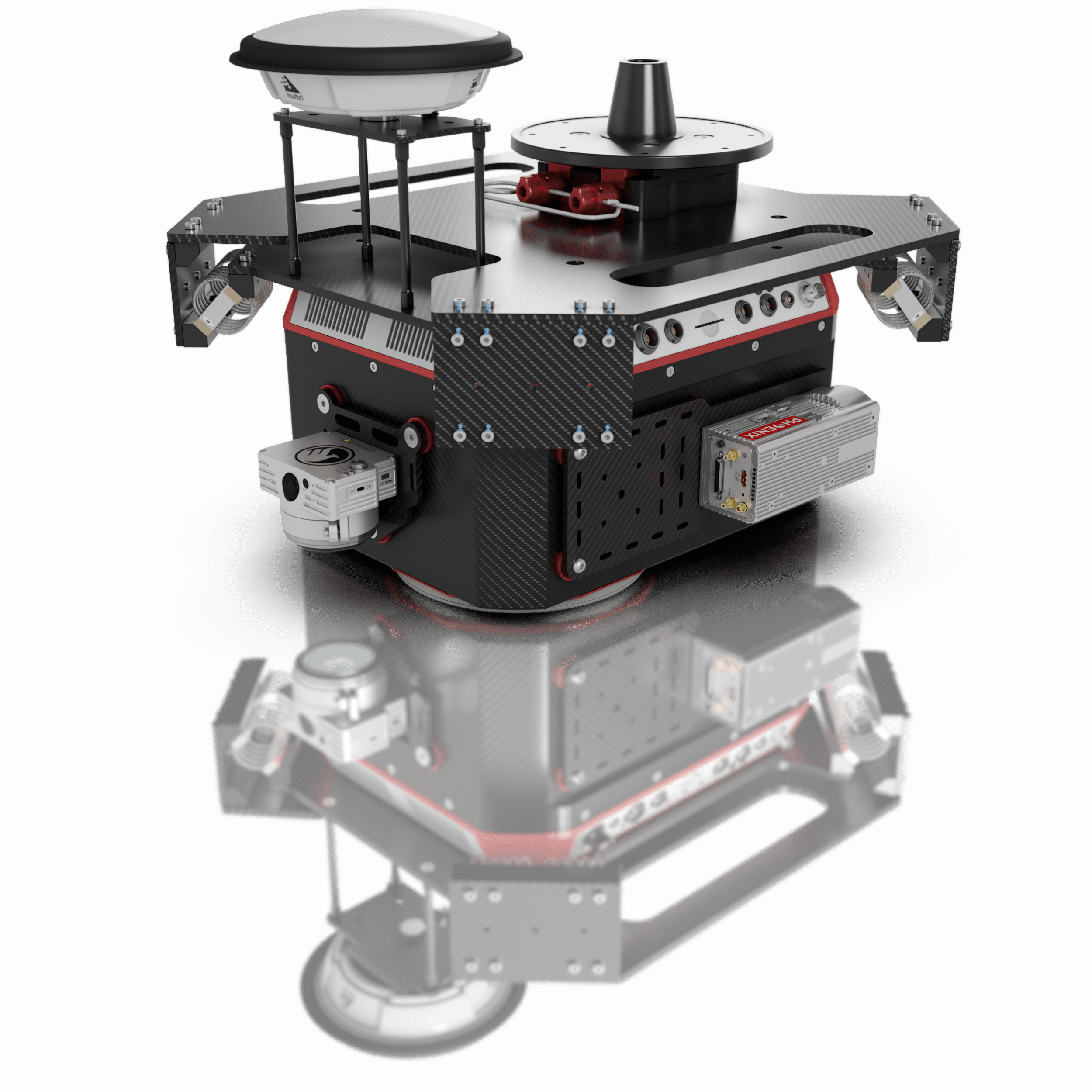
PHOENIX LIDAR SYSTEMS is a pioneer in the design and development of compact, flexible, survey-grade 3D laser mapping solutions. We teamed with Velodyne to develop the first UAV LiDAR integration prototype, introduced the first real time point cloud visualization software, and launched the first fully automated, cloud based LiDAR post processing solution.
Opportunities are available to Basic, Advanced and Premium Subscribers only.