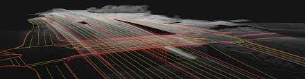
TopoDOT® offers the transportation industry’s most productive software for extracting topography, 3D models, GIS Assets, and more from point cloud data. But that’s not all! TopoDOT®’s comprehensive tool suite allows you to establish a highly productive process to manage data, assess quality and extract CAD and GIS products exceeding your customers requirements and expectations.
Opportunities are available to Basic, Advanced and Premium Subscribers only.